Chukotka Autonomous Okrug
Provideniya
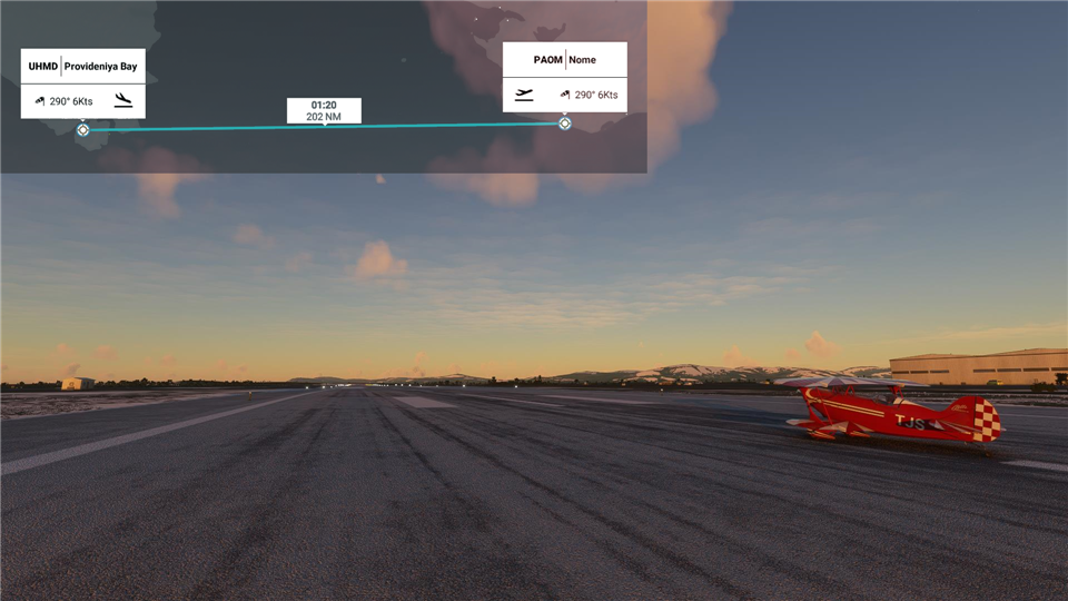
So that's it for North America. Today we're going to Provideniya Bay in Russia. The "official" route for light planes is quite a piece north and crosses over the Diomede Islands. There the distance between the US and Russia is less than 4 kilometers, although since they are also separated by the International Date Line, it takes an entire day to see from one island to the other. It is a much safer route as you're always within sight of land. We're going to blast straight across the Bering Strait and shave a good hour off the flight, which means we won't crash. A Pitts is not known for its time aloft.
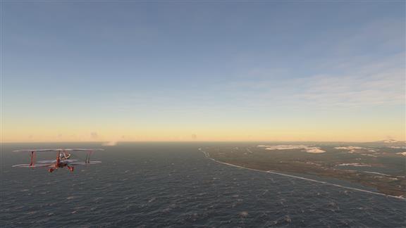 Brrr. The water looks cold. And there sure is a lot of it.
|
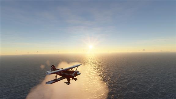 We're about half way. This is where you try to remember how to calculate two things that you used to know how to do. One is the Critical Point, the point in your flight where it will take you the same amount of time to return to base as to proceed to destination. The other is the Point of No Return, the point at which you no longer have enough fuel to return to base and must procced to destination. I can't remember either one. Has something to do with winds I think.
|
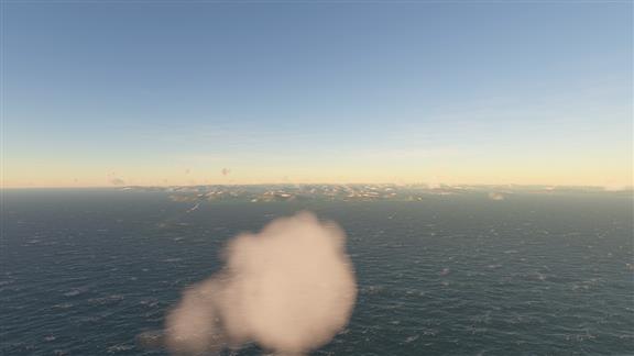 And there we have Russia. Set your watch. It's off by a day.
|
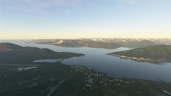 And our stop for the night, Provideniya. It is on Komsomolskaya Bay, a part of Provideniya (Providence) Bay. This is a deep water fjord just south of the winter pack ice so it has been of immense significance as a harbour since its discovery in 1660. Now a great deal of its economy derives, strangely, from American tourists and there is a charter service to fly you here.
|
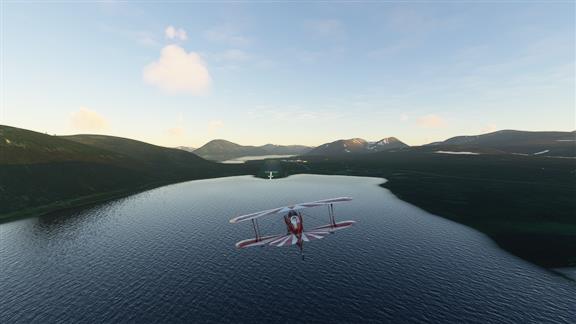 And that's it for today. Tomorrow we continue in Chukotka to Anadyr.
|