Mallacoota
Come Back Again
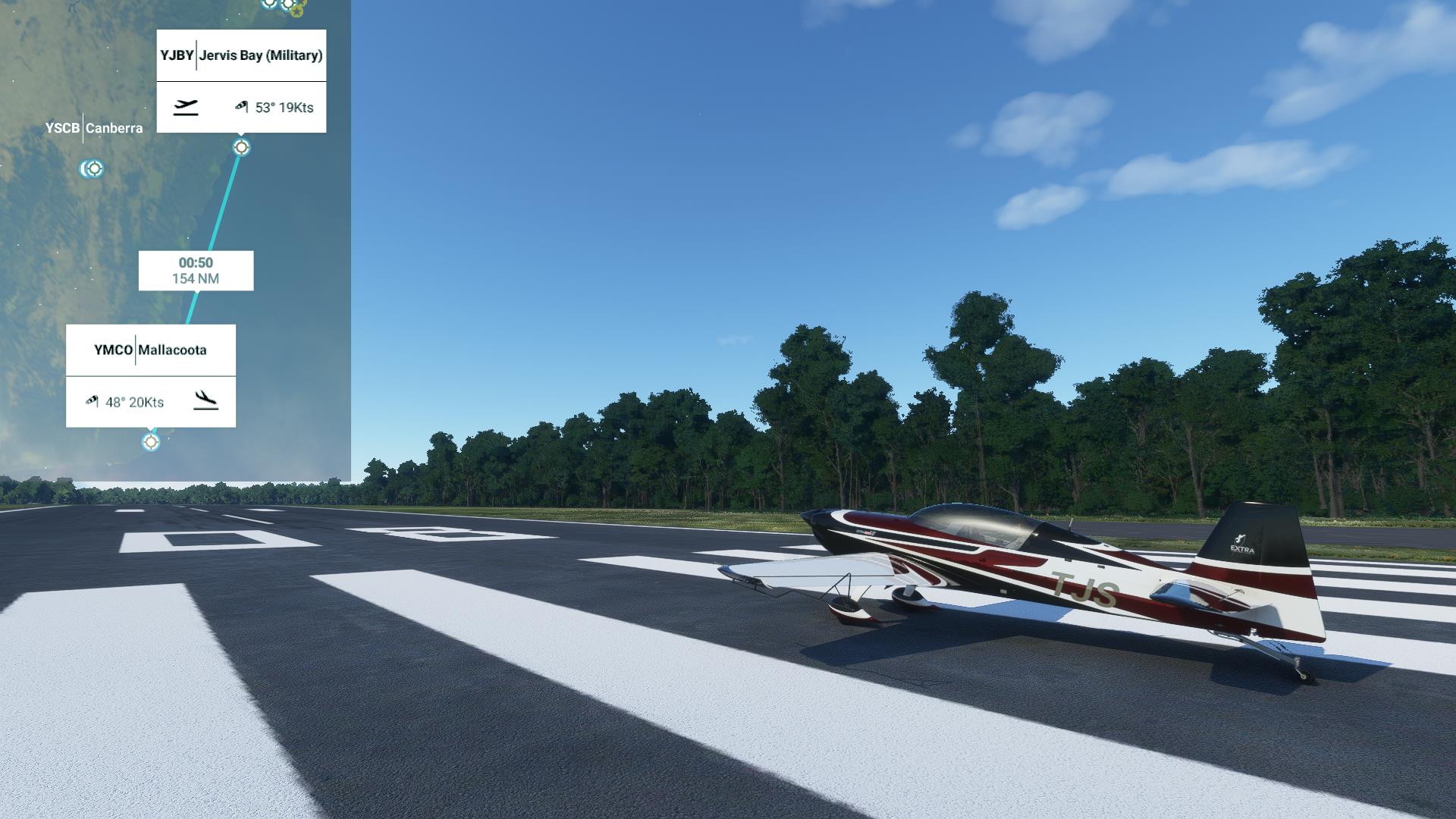
Jervis Bay has the standard four seasons - winter, spring, summer and fall - that any other place on earth has. Being on the wrong side of the equator, of course, means that they are flipped. So winter is from June to August, September to November is spring, summer is from December to February, and March to May, the season we currently find ourselves in, is autumn. This is the way it has been here for at least two hundred and fifty years.
But long before that, tens of thousands of years before James Cook arrived, the ancestors of the D'harawal people arrived. Not having the benefit of the knowledge of European seasons, they set up their own. A D'harawal season is not tied to specific dates. It is tied to what is actually happening. So while the European autumn may be wet or dry, warm or cool, the D'harawal time of Marrai'gang is always wet and becoming cooler because that is what defines the time of Marrai'gang. In the time of Marrai'gang the lilly pillys, or monkey apples, ripen on the trees. When they fall off the trees, it is time to prepare for the time of Burrugin.
A burrugin is also known as an echidna. They mate during the cold short days of the time of Burrugin. This is also the time when the burringoa eucalyptus tree blooms, and that is the sign that shellfish are not safe to eat.
When the lyrebirds call for mates in the bushland and the marrai'uo acacia trees bloom, it is the time of Wiritjiribin. There will be fish running in the rivers, but it will be cold and windy. When the boo'kerrikin acacia trees bloom it is the end of Wiritjiribin.
During the time of Ngoonungi the flying foxes gather. They swirl in their thousands when the sun goes down before heading south to feed. When the miwa gawaian blossoms a bright red it is the time for ceremonies in the warming weather.
When the eels run downriver to the ocean and the weather is warm and wet it is the time of Parra'dowee. There will be fish in the bays.
In the time of Burran the kangaroos become dangerous. It is not safe to eat meat because it spoils quickly in the extreme heat. It is generally dry, though there can be violent storms. So you must not camp near creeks and rivers. And when the weetjellan acacia blooms it is a warning that fires must not be built near the bushland.
These are the seasons that make sense to the D'harawal people who are the traditional custodians of the land between Sydney and Jervis Bay. Different lands and different custodians all have their own calendars which make sense to them. There is great variation amongst these calendars for things such as the number of seasons, and the meanings of different signs. This is to be expected in a country that ranges from arid desert to tropical rainforest. But all of the calendars have this in common: they all have a season for bushfires.
Bushfires are a fact of life in Australia, and have been for 15 million years, ever since the earth started cooling and drying out. Many plants and animals have adapted to bushfires. Some actually rely on them. The eucalyptus, or gum tree, for instance, has a pretty good defence against bushfires: epicormic buds. After a fire, the buds to be found under the thick and protective bark sprout right away into epicormic shoots, and the eucalypt tree carries on. It is so succesfull at surviving fires that it actually encourages them. Eucalyptus oil, to be found in abundance in Eucalyptus leaves, is highly flammable. This is one reason why bushfires are so common in Australia - it is covered with eucalyptus trees. And they have learned how to burn out the competition.
But it's not just the gum trees. A group of birds collectively known as 'fire hawks' - the black kite and the brown falcon among them - have learned how to carry burning sticks from one region to another to encourage fires. Fires cause a general panic amongst the things that fire hawks enjoy eating. And panicked food with no vegetation coverage is easy pickings for a bird.
People, too, have learned the value of fire. If you burn a grassland, the new grass grows in especially lush. That makes for fatter kangaroos. If you burn a dry forest, it changes into savannah and promotes the growth of edible ground-level plants such as the bush potato. This practice of 'fire stick farming' is also good at removing weeds and hazards such as snakes from large areas.
Fire stick farming is also called cultural, or cool burning. This is to differentiate it from an uncontrolled bushfire. To the dreamtime people an uncontrolled bushfire brings a particular grief that goes way beyond the loss of life or the loss of food - it is a betrayal of the trust placed in them as custodians of the land. So they would routinely start cool fires in order to avoid the uncontrolled ones later. In western Arnhem Land, quite a ways north and west of here, the season of Yekke starts when the air is cooler and dry, but there is a morning fog and the woolybutt trees are in bloom. This is the season when you start many small, controlled 'cool' fires. This makes a patchwork of burned areas so that later, in the season of Kurrung, when the waterfalls have dried up and the thunderclouds build, a large fire cannot take root. It also makes a convenient path for travelling through the otherwise thick forest, and increases the diversity of the flora and fauna.
When the Europeans started arriving, they quickly put an end to the aboriginal practise of controlled burns in "this continent of smoke". Fire suppression was the way to go. That and cutting down all the trees. Once the trees are gone then you can plant gamba grass from the savannahs of Africa for your cows to eat. But the trouble was that fire suppression was virtually impossible with the very trees and birds fighting against you. A clear cut forest quickly became a shrubland which is very prone to fires. And nothing burns quite as well as gamba grass. The settlers from the perpetually damp British Isles were unprepared for Australian bushfires. And they were about to find this out.
1850 was an exceptionally dry and hot year in the state of Victoria. The severe drought caused eucalyptus trees to concentrate oil in their leaves, and all other plants of course simply dried out. Creeks and rivers were low, as was the water table. The stage was set for an exceptional fire season.
The 6th of February, 1851 was a thursday. It was 47 degrees in the shade that particular day. Why anyone would want a fire on such a day is lost to history, but the story goes that some bullock drivers in Plenty Ranges left a logfire unattended and it caught on the surrounding grass. This should have resulted in a regular bushfire but on that particular day, a "furnace like wind" started blowing from the north and gained intensity as the day progressed. This fanned the flames until they bacame a wall that would, over the course of that particular thursday, consume a quarter of Victoria. The day came to be known as Black Thursday.
Black Thursday has been followed by Black Sunday, Black Friday, Black Tuesday, Ash Wednesday, Black Saturday, the December Bushfires (the longest running bushfire season), the 1974-75 bushfire (which burned fifteen percent of Australia) and Black Summer, the bushfire season of 2019-20. Which brings us to Mallacoota.
Mallacoota is a small coastal holiday town to the far north east of Victoria in an area known as Gippsland. It frequently has 8 tourists for every resident. People come here to enjoy all manner of water activities, including the Wilderness Coastal Walk. That walk is 100 km of largely untouched nature which travels the coast through Croajingolong National Park to the south. Heading west and north from town you have the Cape Howe Wilderness Area, the Cape Howe Marine National Park and the Nadgee Nature Reserve. Together, these parks and reserves completely encircle Mallacoota except for its harbour and beaches. The Eucalypt trees here are in their natural state. A eucalypt tree is naturally quite tall.
On the 28th December 2019 a bushfire started during a lightning storm on the Wingan River, around 60 kilometers to the west of Mallacoota. The fire seemed to be heading due south and so evacuation orders were issued for the affected areas, resulting in 30,000 tourists leaving East Gippsland between Wingan River and the coast near Tamboon. Mallacoota was not affected and was not ordered to evacuate. The Princes Highway south to Melbourne was closed, so Mallacoota found itself under a "Watch and Act" order, essentially "Stay Put". The Princes Highway north to New South Wales was open and unaffected, but it was considered safest for the ten thousand people currently in a town built for one fifth that number to stay safe and not clog up the little C617, which one would have to take for its twenty-odd kilometers through forest to get to the Princes Highway.
As the fire worsened, authorities started advising people that they could leave if they wished to, but only to the north. Many did. Many did not, deciding instead to tough it out. It is estimated that 1,000 residents and 3,000 tourists were in town when the wind changed, freshening from the southwest. That change brought the fire front - ten kilomteres wide - roaring towards town. It was creating its own weather and so much smoke that aerial fire fighting was impossible. Then early in the morning of 31 December a firestorm reached the outskirts of Mallacoota.
By this time the residents and tourists were mostly cowering either on the town's wharf or the nearby hall. Anyone who had a boat was in it, but an escape by sea was not possible in a pleasure craft. Three CFA (Country Fire Authority) strike teams of about 95 volunteers with related vehicles and equipment, who had been in town since ignition, battled the fire with the result that large portions of the downtown, including all areas sheltering people, were saved. And then the fire raged on out of town and north-east towards New South Wales where it would threaten other towns a few days later.
On January 2nd the Royal Australian Navy arrived. They had emergency supplies including the much needed Ventolin - everyone was suffering from the smoke. Hundreds of kilometers of road between Mallacoota and anywhere else were destroyed in the fire. So the HMAS Choules began ferrying people and pets to Hastings, near Melbourne, and out of harm's way. As soon as conditions permitted, the Royal Australian Air Force joined in. By 6 February it was all pretty much over. And not a single human life was lost.
So that's Mallacoota. Nice little place, lots of surfy things to do. At the end of a twenty kilometer road which is the only way in or out. Fun Fact: the fine in Australia for flicking a lit cigarette out of the car window is $11,000.
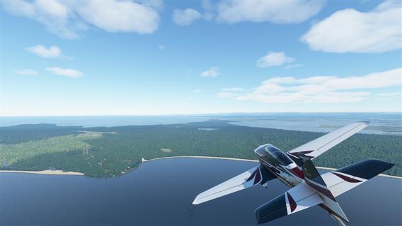 Well, that's it for Jervis Bay.
|
 We've got about an hour of coastline to enjoy. Most of it looks to be gum trees. According to The Agricultural Gazette of New South Wales, Vol. VI part 1, of 1895, "The settlers in the vicinity of Jervis Bay inform me that the young shoots of the grass-tree when in blossom, if eaten by cattle, gives them a complaint called 'cripples'.". It's OK for people to eat, or at least chew, the chicle produced by the yellow gum tree however, and the Gazette goes on to estimate there are 7,000 acres of yellow gum here to be made use of. That is one buttload of chiclets.
 |
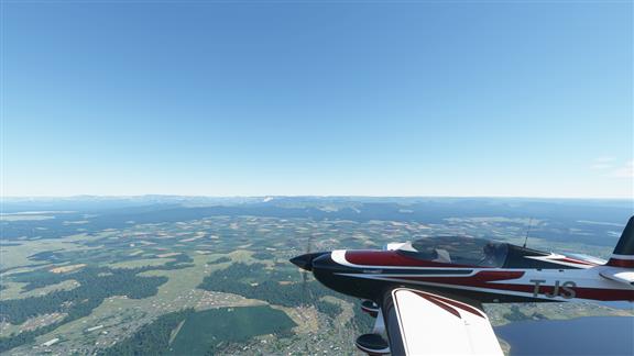 Tablelands off in the distance.
|
 Bateman's Bay. Home to some little blue penguins.
|
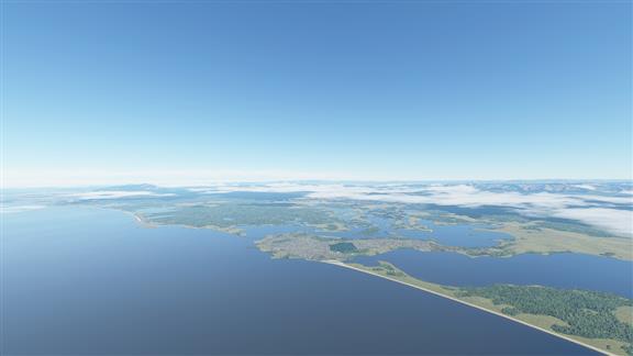 Tuross Head. The 875 acres that the town is built upon was once owned by Patrick Mylott. He had a daughter named Eva Mylott who was quite the singer, and in her travels as a contralto married an American by the name of John Hutton Gibson. They had a son name Hutton Gibson. He had a son named Mel Columcille Gerard Gibson who travelled back to Australia and starred in Mad Max. Funny old world.
|
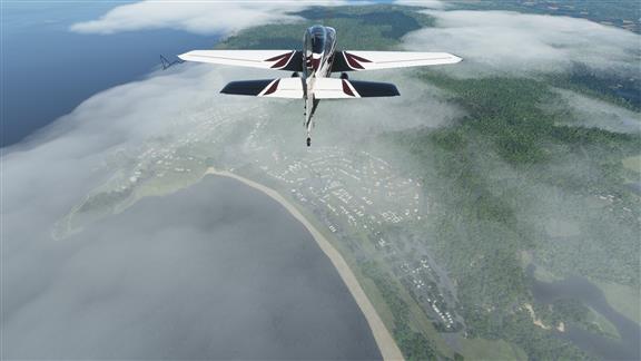 Bermagui. Zane Grey, of horse opera fame, used to like it here.
|
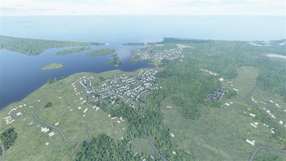 And there we are, Mallacoota with its one little road leading out of town.
|
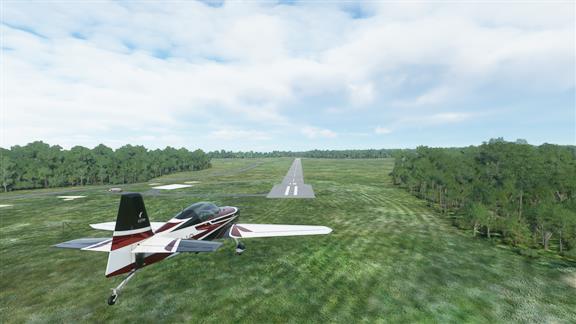 Welcome to Victoria!
|