North Island
Masterton
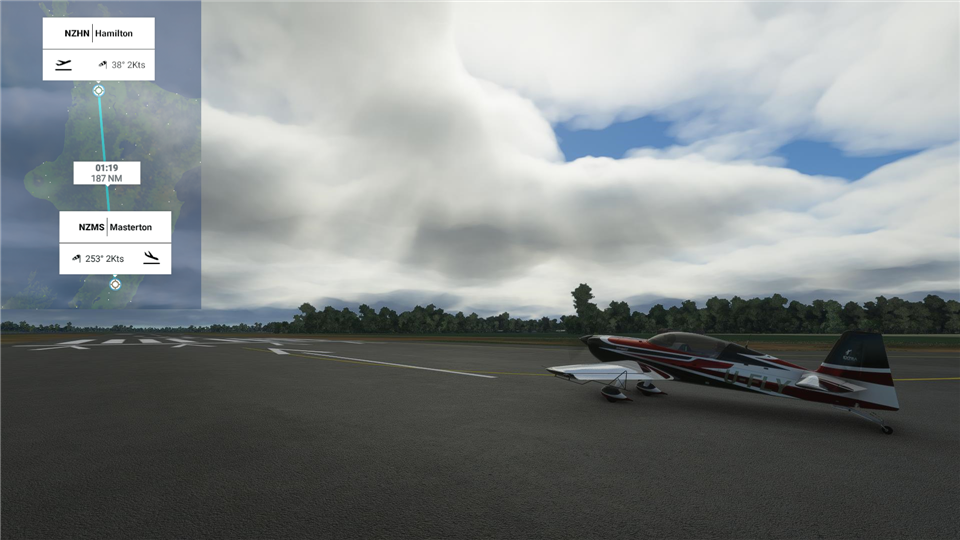
Well I think we've had as much drama as we need for a while. Today we're off to Masterton. A place that has no drama. Never has had. The town was created by farmers where there were no previous Māori villages, and the only contentious issues they face concern sheep-shearing competitions. Sounds like fun.
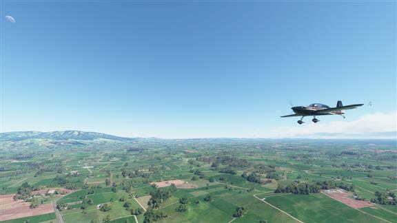 Baaah. Actually, the place reminds me somewhat of Middle Earth.
|
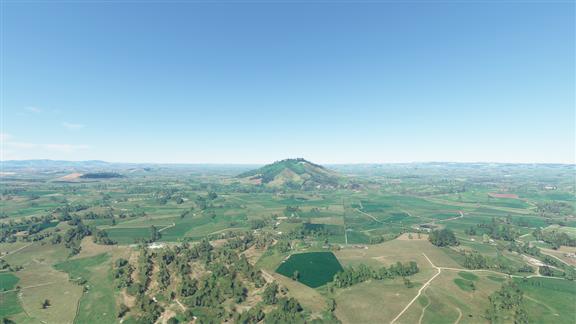
As Charles Manson would say, Is that an extinct volcano or am I insane?
 |
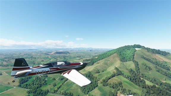 |
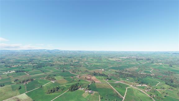 Seriously, how many sheep does a place need?
|
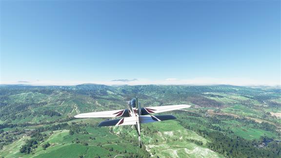 Big hills. Let's go see.
|
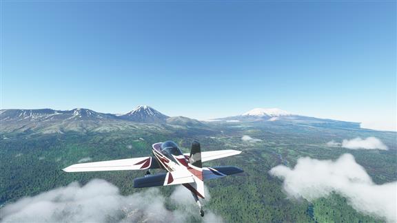 Mount Ngauruhoe to the left and Mount Ruapehu to the right. They are part of the Taupo Volcanic Zone, which stretches from White Island away out in the Pacific to Ruapehu. Ruapehu is New Zealand's largest andesite (fine-grained, like sand) cone volcano, and is worrisome because it is prone to lahars (volcanic mudflows). Ngauruhoe is also an andesite volcano, but has not erupted since 1975 - very unusual for the mountain. Lake Taupo just to the north was formed when a series of eruptions two millennia ago blew a 60 cubic kilometer hole in the ground. It is now sinking at 7 millimeters a year. That can't be good.
Volcanism and associated dangers such as Lava flows, Mud flows, Pyroclastic flows, ash fallout and with a somewhat broader definition, earthquakes and tsunamis, account for most of the deaths in New Zealand from natural disasters. |
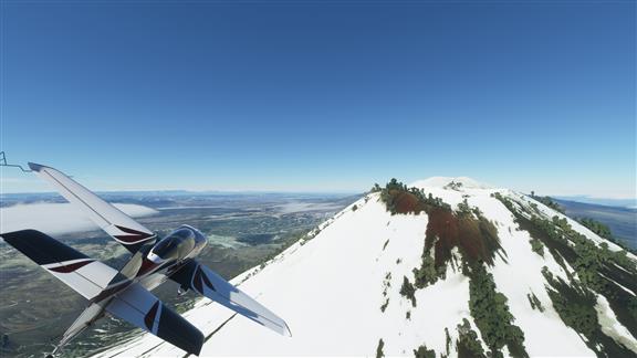 Good skiing.
|
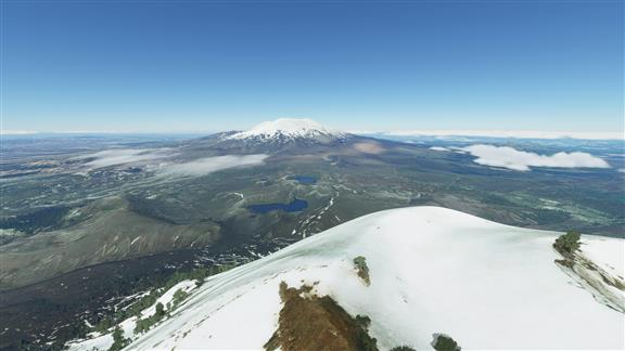 Let's go check out Ruapehu.
|
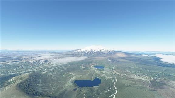 This is the Tama Saddle between the two volcanos. Lots of little volcanos down there, some of which created the Upper and Lower Tama Lakes.
|
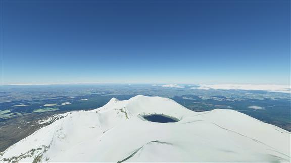 The top of Ruapehu is a crater lake. After an eruption the lake disappears, then it comes back and goes through a period where the temperature is pretty intense. After a while it simmers down so to speak and then people actually swim in it, although the acidity is not good for your skin. There's quite the hike to the top.
|
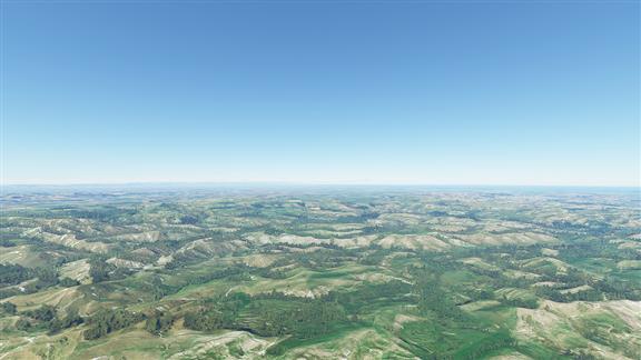
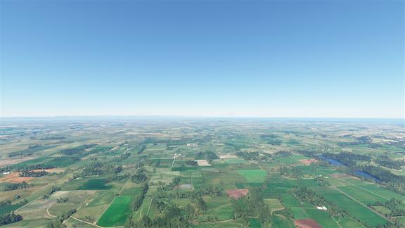
I forget if sheep like the hilly bits or the flat bits. Whatever they're into they can find it here.
 |
 |
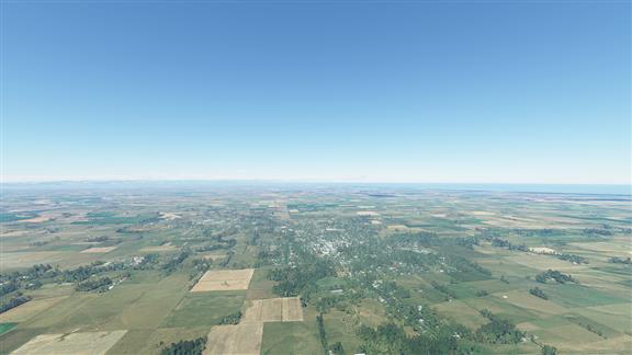 Marton. Farming town. the original name was Tutaenui - Tu (Stand), Tae (Arrive) and Nui (Big), which together meant a big gathering. But it could also mean Tutae (Dung) and Nui (still Big), which together would mean a large turd. So they changed the name.
|
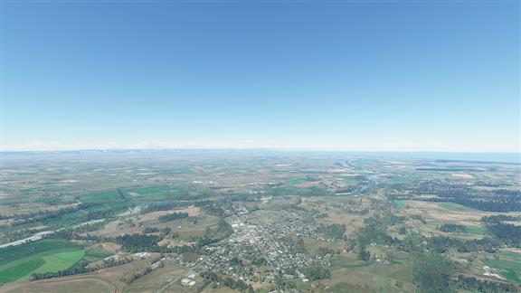 Bulls, with RNZAF base Ohakea across the river. Bulls is famous for its signage, with every possible tongue-in-cheek use of the word Bull that there could possibly be. The police station is the Consta-bull, the church is the Forgive-a-bull, like that. Inconceive-a-bull.
|
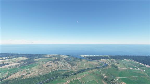 We'll hang a left at Tangimoana Beach (pop. 198 hippies and artists) and follow the coast.
|
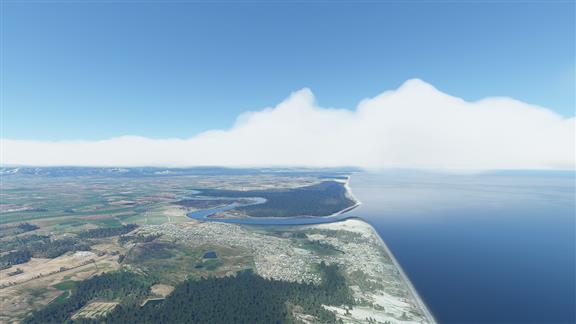 Foxton Beach, birthplace of the Foxton Fizz.
|
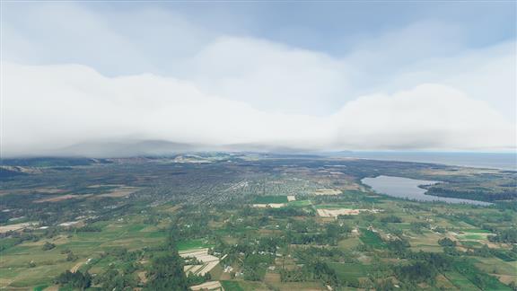 Enough beaches. Time to see how bad the weather is in the mountains.
|
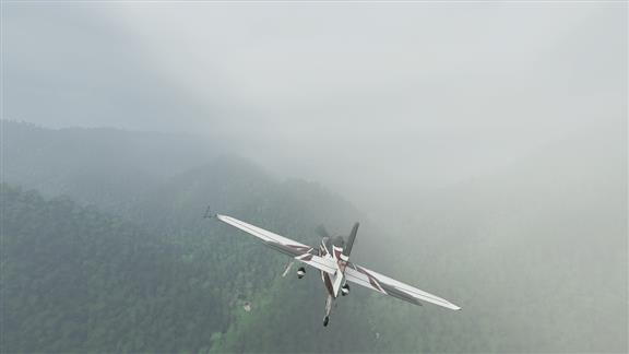 Pretty bad.
|
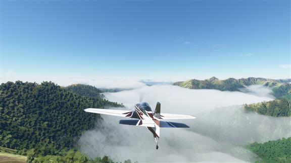 There's our destination just up ahead.
|
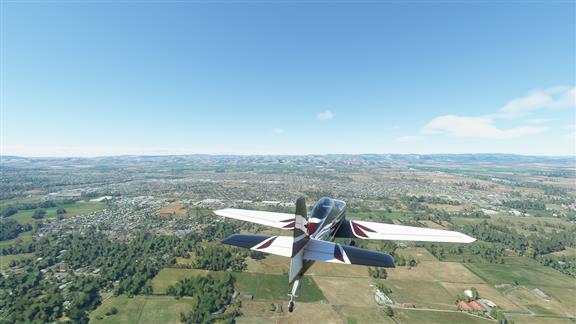 And here we are in Masterton. Family friendly, sheep-shearing Masterton. Masterton is the largest town in The Wairarapa, a geographical region in Enzed.
When Haunui, an early Māori explorer, observed the rivers and a large lake from the western mountains, he gave the region its name, which means glistening waters. The region has had a notably peaceful co-existence with the Māori, the early European settlers actually leasing land from them (rather than just taking it). The town is simply nuts about sheep shearing, and there's an annual contest that is huge on the calendar. Sadly, the Golden Shears event has been cancelled for 2021, but you can get your tickets for 2022 here. |
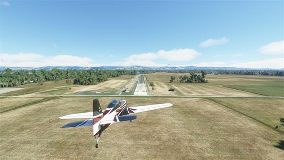 So that's it for the North Island. Tomorrow we're off to Māui's Canoe.
|